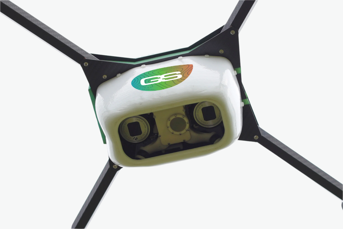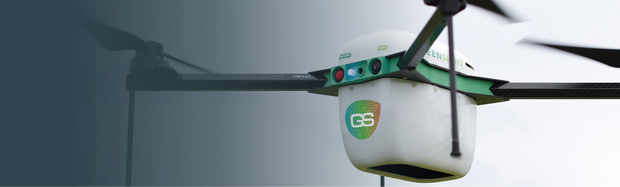


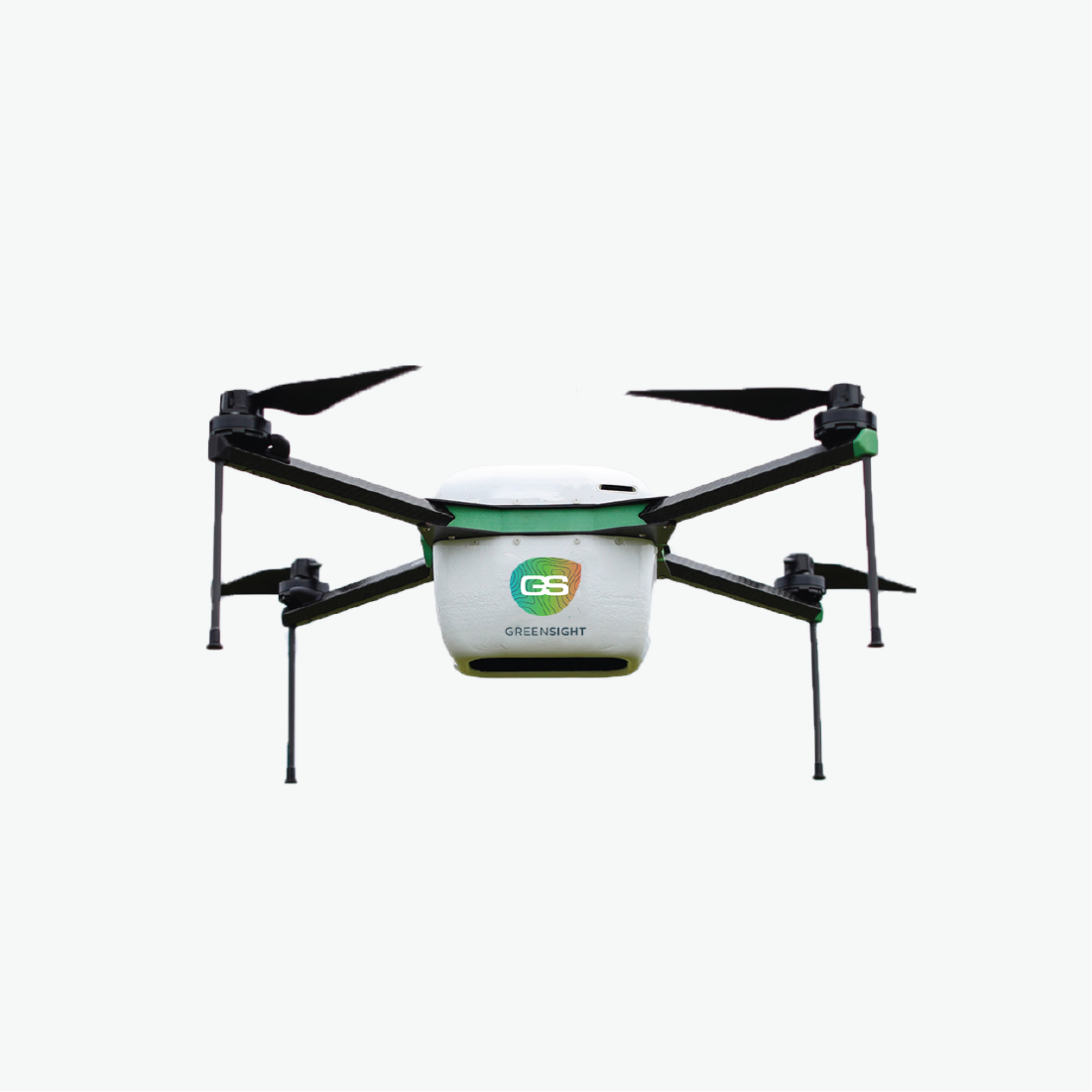
What is Drone Imagery?
Drone imagery involves capturing aerial photographs using drones equipped with advanced cameras and sensors. This imagery provides a bird's-eye view of the golf course, delivering critical insights into turf health, irrigation efficiency, and overall course conditions.
Why do you need this?
-

Identify Issues Early
Detect turf stress, disease, or irrigation inefficiencies before they become visible problems.
-

Actionable Data
Our specialized turf analytics, developed in conjunction with some of the world's best turfgrass minds, help you take action sooner and more effectively than ever before.


Save your resources!
On average, our customers are realizing yearly reductions of up to:


Types of Imagery
-

NDVI
(Normalized Difference Vegetation Index) imagery measures the health and vigor of vegetation.
-

Thermal imagery
captures temperature data by detecting the infrared radiation emitted by objects.
-

High-resolution
provides crystal-clear aerial views of your golf course, capturing even the finest details.


Reviews
-

Blackhawk Country Club
“Having the GreenSight drone fly the course really helps us do so much more without having to be on the course all the time in person. It's so much more convenient being able to see everything that is happening on our course and much faster than just observing it from a cart ride.”
Kevin SullivanDirector of Agronomy
-

Valhalla Golf Club
"Having data about the course available from the drone so quickly and comprehensively really has helped us make moisture management decisions that have made key improvements to the course."
John BallardGolf Course Superintendent
-

The Club at Rolling Hills
"We’ve seen a return on investment in mental health and peace of mind as using the drone data really has increased my confidence in making more informed decisions specifically for the turf management of the course."
Aaron FankhouserGolf Course Superintendent


TurfCloud Store
Drone Service